Types Of Maps (Notes)

There are many types of maps. Some are used to show where resources are found and what types they are, some are for navigation, and some are for tracking climate patterns around the world.
Political Maps
A political map is a type of map that shows the borders between states, countries, territories, towns, cities, etc. One example of this type of map, which shows all the states of America and their borders and their votes (democrat or republican). This specific example is also a presidential election map.
Physical Maps
A physical map shows, mountains, rivers, lakes, and deserts, as well as details of the surrounding areas. These maps are used in geography to study the earth's surface without actually going there.
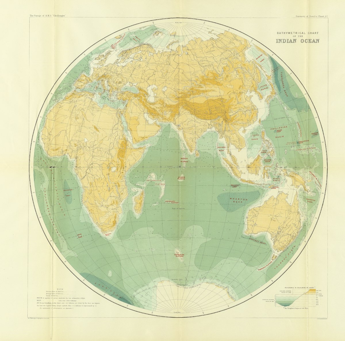
Topographic Maps
A topographic map shows features of an area, such as mountains, valleys, rivers, and lakes, as well as the elevation of the land.
Climate Maps
Climate maps show the climate of a region, such as temperature and precipitation. One example of a climate map is this one.
Economic or Resource Maps
Economic or Resource Maps are used to show resources such as coal and iron in a country. This is the resource map of Brazil.
Road Maps
Road maps are used during our everyday life, such as Google Maps or Apple Maps. These maps show roads and no other details, so you can focus on driving.
Thematic Maps
A thematic map focuses on a theme, such as population, rainfall levels, vegetation, and poverty.


:max_bytes(150000):strip_icc():format(webp)/presidential-election-usa-map-518000720-58b9d2575f9b58af5ca8b3bb.jpg?ref=homeschooler.info)